The Beacons Way is a 159km (99 mile) long walking route which traverses the Bannau Brycheiniog (Brecon Beacons) National Park, taking in it's many wonders along the way.
The route was created in 2005 by John Sansom, a keen walker and member of the Brecon Beacons Park Society and runs from Abergavenny in the East to Llangadog in the West. It covers varied terrain from the high peaks of the central beacons to the valleys seperating these great tops and everything in between.
The Route
Day 1: Abergavenny to Llanthony Priory
Distance: 21.9km
Ascent: 936m
Download day 1 GPX
file
What is a GPX file?
Day 2: Llanthony to Crickhowell
Distance: 19.8km
Ascent: 982m
Download day 2 GPX
file
What is a GPX file?
Day 3: Crickhowell to Llangynidr
Distance: 19.3km
Ascent: 843m
Download day 3 GPX
file
What is a GPX file?
Day 4: Llangynidr to Storey Arms
Distance: 22.6km
Ascent: 1208m
Download day 4 GPX
file
What is a GPX file?
Day 5: Storey Arms to Craig-y-nos
Distance: 23.2km
Ascent: 673m
Download day 5 GPX
file
What is a GPX file?
Day 6: Craig-y-Nos to Llanddeusant
Distance: 15.9km
Ascent: 855m
Download day 6 GPX
file
What is a GPX file?
Day 7: Llanddeusant to Carreg Cennen Castle
Distance: 20.7km
Ascent: 766m
Download day 7 GPX
file
What is a GPX file?
Day 8: Carreg Cennen Castle to Llangadog
Distance: 16.0km
Ascent: 353m
Download day 8 GPX
file
What is a GPX file?
What is a GPX file?
GPX is short for GPS exchange format and is a type of file that stores geographical data, specifically linked to waypoints and routes, etc., which you can download to save and share. Most GPS and mapping devices have an option to upload GPX files allowing you to view and use routes whilst exploring the outdoors.
Maps, Books & Guides
Maps and guides are a great way to get to know the route before taking on the Beacons Way and are also worth taking with you on the trail as whilst it is very common for people to take digital navigational devices nowadays, these can run out of battery or be dropped and break.
Note: The following are not affiliate links.
-
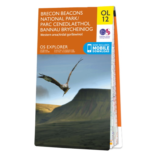
Ordnance Survey Explorer OL12 Brecon Beacons National Park - Western Area
This 1:25,000 scale map has a superb level of detail, including a clearly marked Beacons Way route, and as such makes a great companion on the trail. For full coverage, pair with the OS Explorer OL13 map which covers the Eastern half of the national park.
-
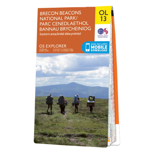
Ordnance Survey Explorer OL13 Brecon Beacons National Park - Eastern Area
This 1:25,000 scale map has a superb level of detail, including a clearly marked Beacons Way route, and as such makes a great companion on the trail. For full coverage, pair with the OS Explorer OL13 map which covers the Western half of the national park.
-
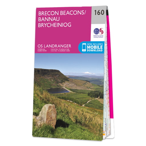
Ordnance Survey Landranger 160 Brecon Beacons
The classic 1:50,000 Ordnance Survey map covering the entirety of the Bannau Brycheiniog (Brecon Beacons) National Park, including the full Beacons Way route. Not as much detail as the 1:25,000 explorer maps but then it's one less map to carry.
-
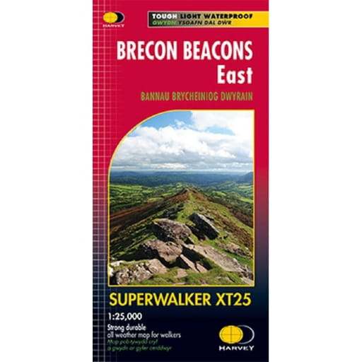
Harvey Maps Superwalker Map Brecon Beacons East
The tough, light, durable and 100% waterproof Superwalker maps from Harveys are specifically designed, as the name suggests, with the walker in mind. The 1:25,000 scale is clear and concise with all the features a walker might need and none they won't. Pair with the Brecon Beacons West Superwalker map for full route coverage.
-
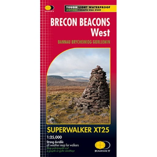
Harvey Maps Superwalker Map Brecon Beacons West
The tough, light, durable and 100% waterproof Superwalker maps from Harveys are specifically designed, as the name suggests, with the walker in mind. The 1:25,000 scale is clear and concise with all the features a walker might need and none they won't. Pair with the Brecon Beacons East Superwalker map for full route coverage.
-
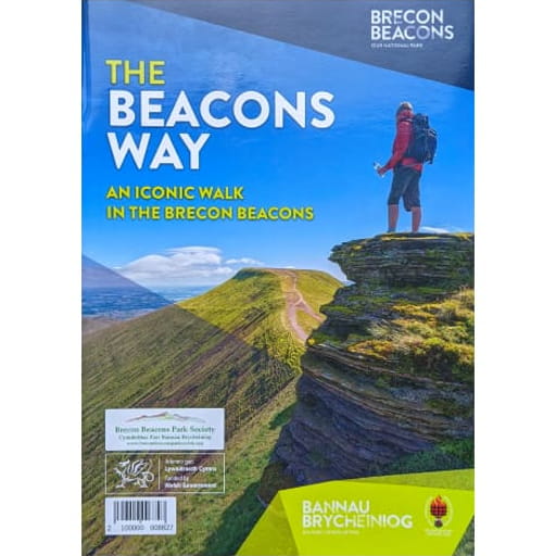
The Beacons Way An Iconic Walk in the Brecon Beacons
The official booklet produced by the Bannau Brycheiniog (Brecon Beacons) National Park covering details of the Beacons Way.
-
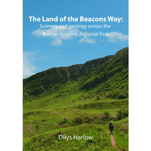
The Land of the Beacons Way Scenery and geology across the Brecon Beacons National Park - Dilys Harlow
For those with an interest of what's going on underneath your feet whilst walking the Beacons Way.
-
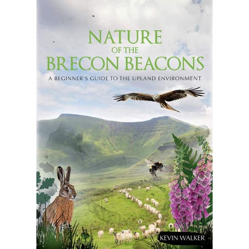
Nature of the Brecon Beacons A Beginners Guide to the Upland Environment - Kevin Walker
A guidebook to the common flora and fauna of the Bannau Brycheiniog (Brecon Beacons).
-
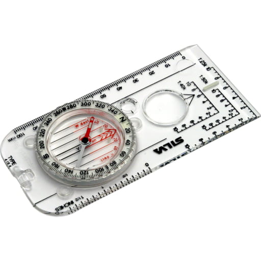
Silva Expedition 4 Compass
The iconic baseplate compass from Swedish brand Silva. A true classic! What you carry to help with navigation whilst out on the trail is up to you, but whatever you do, make sure there's a compass in your bag and you know how to use it.

Weather
The weather you encounter whilst walking the Beacons Way can greatly affect your experience and how enjoyable a time you have and will determine what clothing and equipment you may need to take with you. Weather can change quickly in the hills and be vastly different to that lower down in the valleys. As such it is essential that you check the weather report so you know what to expect and can plan and pack accordingly.
Specialist weather forecasts provided by the likes of the Met Office and the Mountain Weather Information Service (MWIS), amongst others, can help provide greater detail than the national forecasts and will also provide information on what to expect at different elevations whilst out in the hills.
Pay special attention to wind speeds as these affect your ability to walk safely at higher elevations and will also affect what the temperature feels like due to windchill factor. Wind speeds over 30mph can make walking difficult whilst over 40mph can result in individuals being blown off their feet.